UN
3 Manor Way
£ 525,000
Description
We don't have a Description for this property.
- Bedrooms
- 4
- Bathrooms
- 0
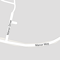


Leaflet © OpenStreetMap contributors
The heatmap indicates the level of crime in the area. The color of the heatmap indicates the crime severity and recency.
Metrics Year-on-Year
- Average area value
- 243,652.00 £Decreased by 23.31 %
- Average area rental value
- 830.00 £/moIncreased by 19.42 %
- Est rental Yield
- 4.09 %Increased by 56.11 %
- Crime Rate
- 18.00 %Unchanged by 0.00 %
from 317,727.00 £
from 695.00 £/mo
from 2.62 %
from 18.00 %
Nearby Schools
| Name | Type | Ofsted | Distance |
|---|---|---|---|
| Berrow Church Of England Primary School | Voluntary Controlled School | Requires improvement | 0.72 KM |
| St Andrew'S Church Of England Voluntary Controlled Junior School | Voluntary Controlled School | Good | 3.80 KM |
| Burnham-On-Sea Building | Children's Centre Linked Site | 3.82 KM | |
| Burnham-On-Sea Community Infant School | Community School | Outstanding | 3.87 KM |
| The King Alfred School An Academy | Academy Sponsor Led | 5.35 KM |
Images
Nearby Streets
| Name | Average Price | Average Sqft | Distance |
|---|---|---|---|
| Campoline Drive | £ 370,000 | 0 | 0.00 KM |
| North Lane | £ 0 | 0 | 0.00 KM |
Nearby Transport
| Name | NLC | TLC | Distance |
|---|---|---|---|
| Highbridge And Burnham | 3314 | HIG | 6.86 KM |
| Weston-Super-Mare | 3391 | WSM | 9.51 KM |
Nearby Listings
| Address | Price | Type | Score | Distance |
|---|---|---|---|---|
| Manor Way, Berrow, Burnham-on-Sea, Somerset, TA8 | £ 595,000 | BUY | 6 / 10 | 0.01 KM |
| Manor Way, Berrow, Burnham-on-Sea, Somerset, TA8 | £ 50,000 | BUY | 6 / 10 | 0.01 KM |
| Manor Way, Berrow, Burnham-on-Sea, Somerset, TA8 | £ 460,000 | BUY | 6 / 10 | 0.01 KM |
| New Manor Court, Berrow, Burnham-on-Sea, Somerset, TA8 | £ 50,000 | BUY | 6 / 10 | 0.07 KM |
| New Manor Court, Berrow, Burnham-on-Sea, Somerset, TA8 | £ 460,000 | BUY | 6 / 10 | 0.07 KM |
Nearby Properties
| Address | Price | Distance |
|---|---|---|
| 4 Manor Way | £ 365,000 | 0.00 KM |
| 2 Manor Way | £ 395,000 | 0.00 KM |
| Chestnut House | £ 825,000 | 0.00 KM |
| 10 Manor Way | £ 340,000 | 0.00 KM |
| 5 Manor Way | £ 380,000 | 0.00 KM |